

The image above is subject to copyright.
Copyrights for Photographic Reproduction
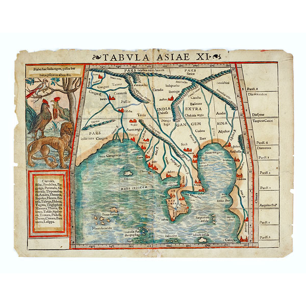
The first contacts between the West and Asia occurred on land, in particular during Alexander the Great's campaign in the 4th century and along the Silk Road to China, taken by Marco Polo in the 13th century. The sea route between Europe and India was opened by the Portuguese explorer Vasco de Gama, in 1498, and chart making became a speciality of the countries engaging in maritime trade.
© 2021 Musée d'ethnographie, Genève
